

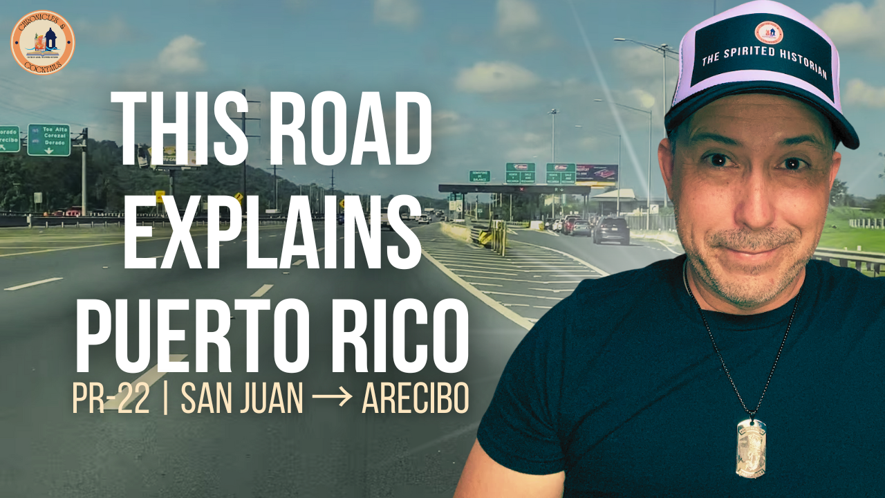
There are roads you take because they are beautiful, roads you take because they are historic, and roads you take simply because they get you where you need to go.
Puerto Rico Highway 22 manages to be a little bit of all three.
Officially known as the José de Diego Expressway, PR-22 stretches roughly 84 kilometers—or 52 miles—across Puerto Rico’s northern corridor, connecting the San Juan metropolitan area with Arecibo and eventually reaching Hatillo, where it reconnects with PR-2.
For hundreds of thousands of Puerto Ricans, it is simply el expreso: the road to work, home, shopping, the beach, the airport, the mountains, or another part of the island.
But look a little closer and Highway 22 becomes something else.
It becomes a remarkably good place from which to understand modern Puerto Rico.
The Highway That Changed the North Coast
Construction of PR-22 began in 1971. The expressway was built to provide a faster alternative to PR-2, the older highway that historically carried traffic west from San Juan through the communities and commercial districts of Puerto Rico’s northern municipalities.
The difference between the two roads tells its own story.
PR-2 takes you through places.
PR-22 takes you past them.
Traffic lights, storefronts and town streets were replaced by controlled entrances, exits, toll plazas and uninterrupted lanes. A trip along the parallel untolled route can take considerably longer than traveling the expressway.
That additional speed helped transform the way Puerto Ricans commute, work, shop and move goods across the northern part of the island.
Today, PR-22 is Puerto Rico’s busiest expressway, carrying approximately 200,000 vehicles per day.
And there is another interesting detail that many people who drive it regularly may not know.
Yes, Highway 22 Is Connected to the Interstate Highway System
Puerto Rico has its own designated Interstate routes.
In 1983, the Federal Highway Administration approved Puerto Rico Interstate 2, or PRI-2, as part of the National System of Interstate and Defense Highways.
Originally, that designation followed portions of PR-2.
But the newer José de Diego Expressway eventually became the superior through route between San Juan and Arecibo. The final section of PR-22 opened to traffic on March 30, 1995, and the federal Interstate alignment was subsequently relocated onto PR-22.
You won't normally see a familiar blue-and-red Interstate shield while driving it.
But in federal highway terms, you are traveling along part of the Interstate system.
That is one of the stories we explore in this episode of Chronicles & Cocktails.
Who Was José de Diego?
Even the name of the highway deserves attention.
José de Diego was a Puerto Rican poet, lawyer, legislator and political leader who became one of the important intellectual figures of Puerto Rico during the transition from Spanish to American sovereignty.
In 1906, he wrote:
“We wish to be citizens of the United States or citizens of Puerto Rico. In either case, with all the rights inherent to a natural sovereignty.”
Today his name is attached to a highway built around something very different: movement.
And PR-22 moves a lot of Puerto Rico.
More Than a Road Between San Juan and Arecibo
One of the fascinating things about driving Highway 22 is how much of Puerto Rico lies only a few minutes away from its exits.
At its eastern end is San Juan, Puerto Rico's capital, principal port and largest metropolitan center.
Then the road moves through or alongside Guaynabo, Bayamón, Toa Baja, Dorado, Vega Alta, Vega Baja, Manatí, Barceloneta and Arecibo, eventually reaching the Hatillo area.
But those names barely scratch the surface.
A short detour can put you among the archaeological remains of Caparra, the first permanent Spanish settlement established by Juan Ponce de León in Puerto Rico.
Another exit can lead toward the massive Bacardí rum distillery.
Elsewhere, the road gives access to Dorado's coast and golf courses, the historic center of Manatí, Puerto Rico Premium Outlets in Barceloneta, and the old city of Arecibo.
Then there is the landscape itself.
Beaches, Karst and a Freshwater Lagoon
The expressway cuts through one of Puerto Rico's most interesting geographic regions.
The northern karst produces the distinctive limestone hills, caves, sinkholes and underground drainage systems that characterize a large portion of northern Puerto Rico.
Near Vega Baja and Manatí is another remarkable place: Laguna Tortuguero, Puerto Rico's principal natural freshwater lagoon.
And although PR-22 is not really a coastal sightseeing highway, some of Puerto Rico's Atlantic beaches are surprisingly close to its exits.
That's part of the fun of this road.
At highway speed, much of it disappears.
Take an exit and another Puerto Rico suddenly appears.
San Juan at One End, Arecibo at the Other
The two cities anchoring this journey are important in very
